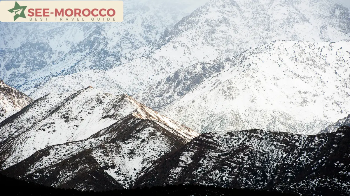
Most guides write about the Atlas Mountains from the Marrakech side: a day trip, a valley, lunch in a Berber village, back by dinner. I see them from the other side. I live in Ouarzazate, at the southern foot of the High Atlas, and the mountains are not a day trip for me — they’re the wall between my home and the rest of the country.
I cross them regularly over the Tizi n’Tichka pass. I’ve seen them close the road with snow, and I’ve seen tourists underestimate them in every season. This guide is the version I’d tell a friend.
The Three Atlas Ranges (Without the Confusion)
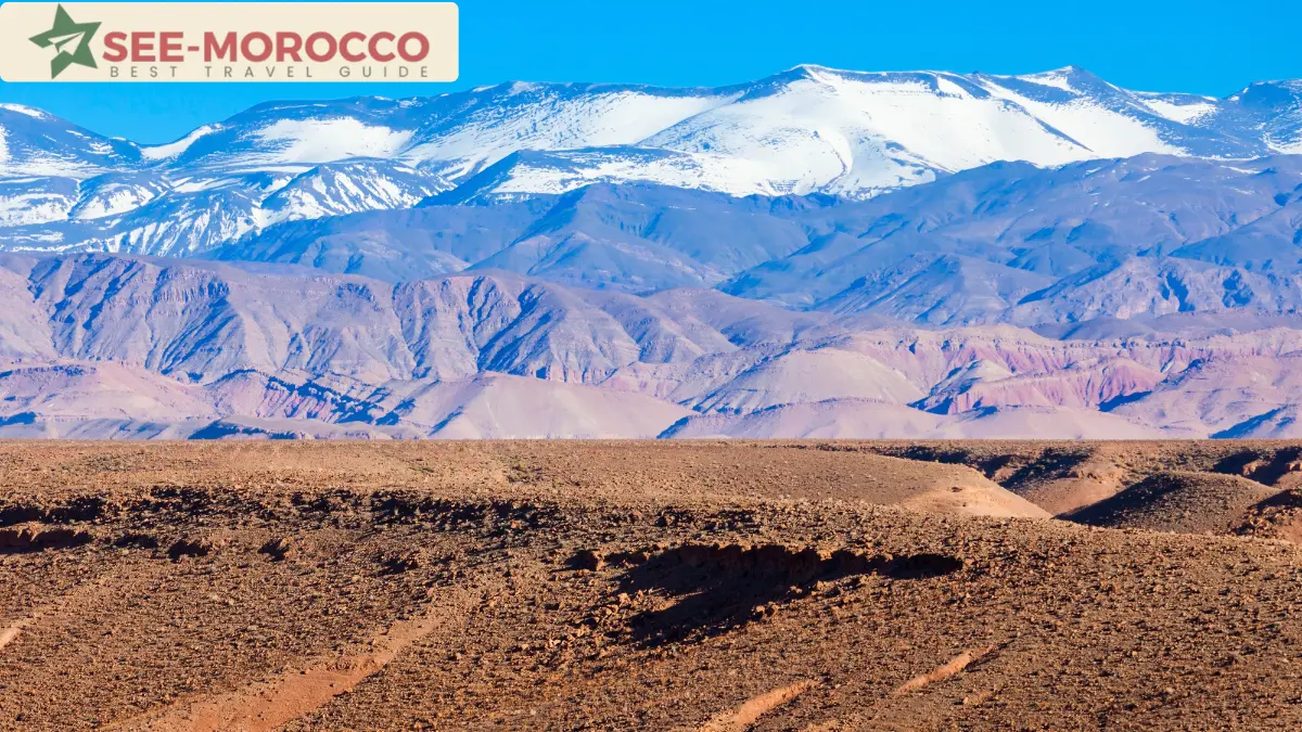
Travel articles constantly mix this up, so let’s be precise. Morocco has three Atlas ranges, all of them inside Morocco:
The High Atlas is the big one — the range you see from Marrakech, with Toubkal (4,167m), the highest peak in North Africa. This is where the trekking, the famous passes, and most of the tourism happen.
The Middle Atlas lies to the north, between Fes and Beni Mellal. Cedar forests, lakes, Barbary macaques, and towns like Ifrane and Azrou. Greener, gentler, and almost ignored by foreign tourists.
The Anti-Atlas runs in the far south, beyond my side of the mountains, toward Tafraoute and Tata. Dry, rocky, dramatic — and the least visited of the three.
When people say “the Atlas Mountains,” they almost always mean the High Atlas. The rest of this guide focuses there, with honest notes on the others.
Tizi n’Tichka: The Pass I Know Too Well
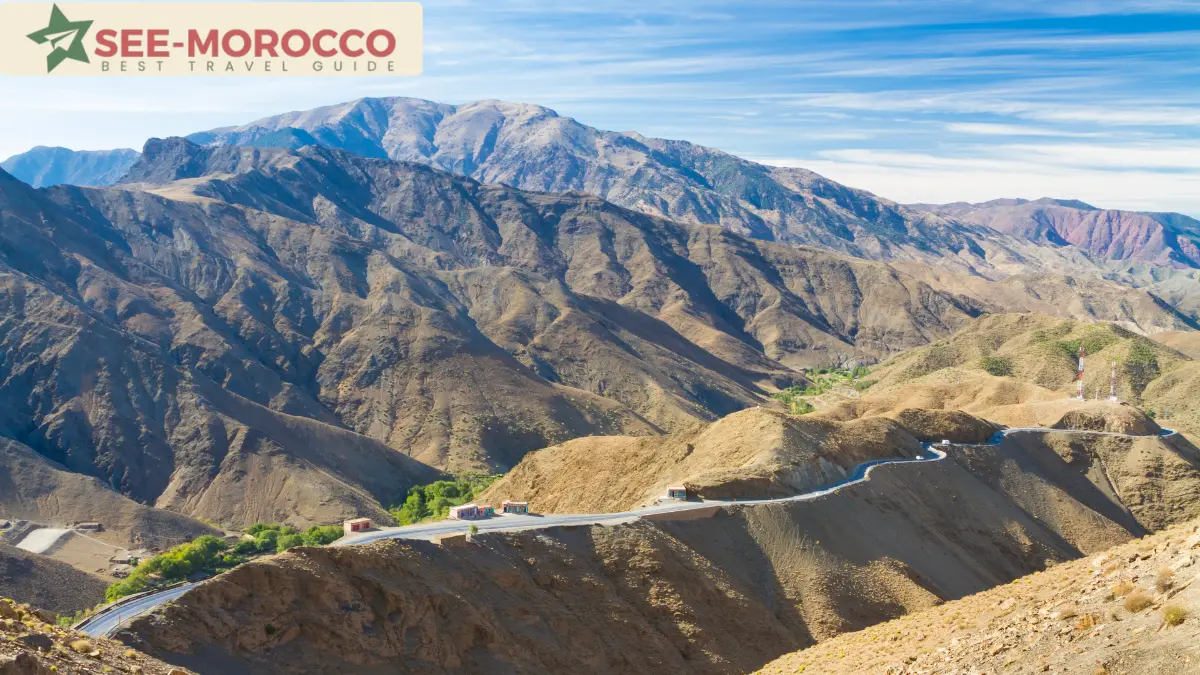
The N9 road between Marrakech and Ouarzazate crosses the High Atlas at Tizi n’Tichka — 2,260 meters, the highest major road pass in Morocco. If you do any southern itinerary (Ait Benhaddou, the Sahara, the Draa Valley), you will drive it.
What the tour descriptions don’t say:
It’s about 4 hours of mountain driving, not a quick hop. The road is paved and has been widened in recent years, but it’s still endless switchbacks. People who get carsick should sit in front and skip the second coffee.
In winter it closes. When real snow falls, the Gendarmerie shuts the pass until plows clear it — sometimes hours, sometimes a day or more. If you’re crossing between December and February, check conditions before you commit, and don’t plan a same-day flight on the other side.
The viewpoints are free; the “panorama” stops are not. Drivers often stop at cafés and mineral shops where they have arrangements. You’re never obliged to buy. The actual best views are at the pass itself and on the southern descent.
I’ve written more about what’s on my side of the pass in my Ouarzazate guide.
The Backroad Passes (and a Hard Lesson)
Beyond the Tichka, a network of smaller mountain roads crosses the High Atlas — the routes from Ouarzazate toward Demnate and Azilal are favorites with adventure travelers. Most come through on big motorbikes or 4x4s; a few brave it by bicycle.
These roads are spectacular and far emptier than the Tichka. They are also less forgiving, and I need to tell you why.
This past winter, a group of six British tourists on large motorbikes set out from Ouarzazate toward Demnate through our region. They had been warned — by the authorities and by the weather forecasts — and pressed on anyway. Heavy rain caught them at one of the oued crossings, the riverbed already running with floodwater.
The local people at the crossing chose to wait. The group decided to cross. The flood took them. Rescue teams saved four of the six after an enormous effort. Two did not survive.
I’m not telling this story to frighten you away from the backroads — they are some of the best riding in North Africa. I’m telling it because the rule here is absolute: when an oued is running, you wait. If the locals standing at the edge aren’t crossing, that is all the information you need. No itinerary is worth it.
Check the forecast before any mountain crossing, take official warnings seriously, and build a spare day into the plan. The mountains will still be there tomorrow.
The Other Side of the Same Road
I don’t want that story to be the only thing you remember about these mountains, so here is another one — same road, Ouarzazate to Demnate, told to me the day it happened by a friend who drives passengers across the Atlas for a living.
On one of the switchbacks, he spotted a large bag lying on the roadside. Inside: a serious amount of cash — euros, mostly, plus some Moroccan dirhams — along with passports and documents. The kind of money that tests a person.
He drove straight to the Royal Gendarmerie in Ouarzazate. They already knew: the owners — tourists traveling by motorbike — had reported it, and a patrol was out searching the road. The bag had fallen off on a bend, and they hadn’t noticed until they reached the city. He handed everything over, complete, with the gendarmes present.
Nobody wrote a news story about it. Here it’s just what you do. The Amazigh communities of these mountains have lived on trust for centuries — travelers passing through their valleys is nothing new, and neither is returning what isn’t yours.
So yes: respect the oueds, check the weather, take the warnings seriously. But don’t ride these roads afraid of the people. They are the best thing about them.
Toubkal: Climbing North Africa’s Highest Peak
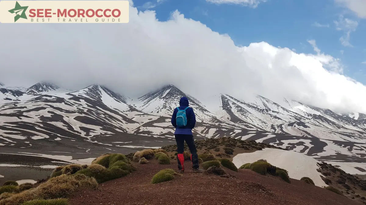
Mount Toubkal is the reason many trekkers come to Morocco. The honest version:
It’s a trek, not a climb — no technical skill needed in summer. But 4,167m is real altitude, and the final morning is a hard, steep slog on scree. Fit beginners do it; unfit optimists suffer.
The standard route takes 2 days from the village of Imlil (1,740m): day one to the refuge at ~3,200m, summit at dawn, back down by evening. Three days is more comfortable.
A licensed guide is mandatory — this has been enforced at the Imlil checkpoint since 2019. Don’t plan a solo ascent.
Winter Toubkal is a different sport. From roughly November to April the upper mountain holds snow and ice; crampons and an ice axe are required, and people die up there in bad weather most winters. If you’re not experienced with winter trekking, go May-October.
Real costs
A guided 2-day Toubkal trek booked in Imlil runs roughly 800-1,500 MAD per person depending on group size and what’s included. A mule with muleteer adds about 150-250 MAD per day. The refuge night costs around 150-300 MAD. A grand taxi seat from Marrakech to Imlil is about 50 MAD, or 350-400 MAD for the whole car.
Day Trips From Marrakech (Ranked Honestly)
If you only have one day, these are the real options, from my perspective:
Imlil and the Toubkal foothills — the best mountain experience per hour spent. Real altitude, real villages, walnut groves, and short walks with serious views. About 90 minutes from Marrakech.
The Ourika Valley — the closest and most popular. Pretty, but the lower valley is a string of tourist restaurants along the river. Push to Setti Fatma at the end of the road and do the waterfall walk, otherwise you’ve mostly seen parking lots.
The Agafay desert — not the Atlas, and not the Sahara either. A rocky moonscape 45 minutes from Marrakech that sells itself as a desert experience. Fine for a sunset dinner; don’t confuse it with the real thing — I’ve explained the difference in my Morocco desert guide.
Crossing the Tichka to Ait Benhaddou — technically a day trip, honestly a punishing one: 8+ hours of driving for 2 hours on site. Stay a night in Ouarzazate instead.
The Villages, and a Word About the Earthquake
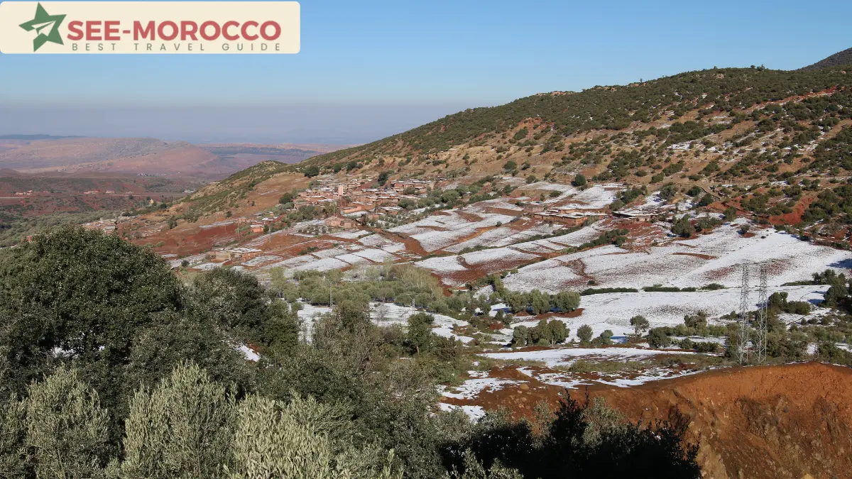
The High Atlas is Amazigh (Berber) country — terraced fields, flat-roofed earthen villages, and a culture older than any city in Morocco. Walking between villages with a local guide, drinking tea you didn’t plan to drink, is the best thing the mountains offer. Better than any summit, in my opinion.
In September 2023, a major earthquake hit the High Atlas south of Marrakech and destroyed many of these villages. You may still see rebuilt and rebuilding communities along the trekking routes. Tourism is one of the main incomes here — visiting respectfully, hiring local guides, and sleeping in village gîtes is genuinely helpful, not intrusive.
When to Visit the Atlas Mountains
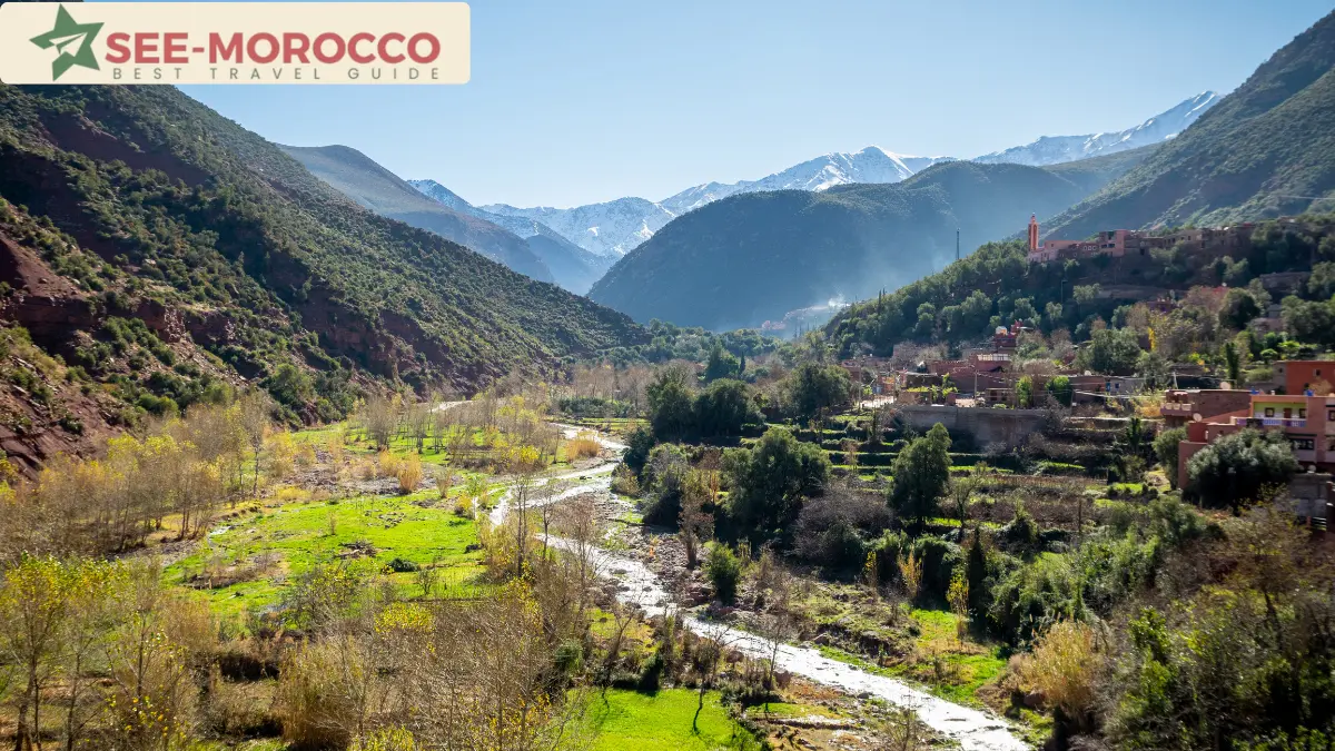
The mountains have their own calendar, separate from the rest of Morocco — I’ve covered the full country in my best time to visit Morocco guide, but for the Atlas:
April to June is the sweet spot: snow gone from the trails (not the peaks), valleys green, walnut and cherry trees full.
September to October is the second window: stable weather, clear air, harvest season in the villages.
July and August work at altitude — the mountains are the escape from the 40°C cities — but the lower valleys fill with local tourism on weekends.
December to March is for experienced winter trekkers only on the high routes. Lower valley walks are still beautiful, and the snow-capped backdrop is the best of the year. Just respect the pass closures and carry chains if you self-drive.
One thing I tell everyone: snow on the High Atlas peaks can linger into early summer. Seeing snow from a Marrakech rooftop in May doesn’t mean your trek is in snow — but seeing it in November means the summits already are.
What to Pack (Mountain Version)
Layers above all — a valley morning can be 8°C and the afternoon 28°C. Real walking shoes, not sneakers with smooth soles; the mule paths are loose stone. Sun protection, because the altitude burns faster than the beach. Cash — there are no ATMs past Imlil or Setti Fatma. A headlamp if you’re doing any refuge trip. And a windproof jacket in every season; the passes make their own weather.
Beyond the High Atlas: Two Honest Detours
The Middle Atlas deserves a day if you’re traveling between Fes and the south: the cedar forest near Azrou (with its semi-wild macaques), the lakes around Ifrane, and a completely different, alpine-feeling Morocco.
The Anti-Atlas around Tafraoute is for travelers on a second or third trip — pink granite landscapes, almond blossoms in February, and almost no tour buses. It’s far from everything, which is exactly the point.
FAQ
Where are the Atlas Mountains?
In Morocco, running roughly southwest to northeast across the country in three ranges: the High Atlas, Middle Atlas, and Anti-Atlas. Related ranges continue into Algeria and Tunisia, but the peaks travelers visit — including Toubkal — are all in Morocco.
What is the highest peak in the Atlas Mountains?
Mount Toubkal, at 4,167 meters, in the High Atlas about 65km south of Marrakech. It’s the highest mountain in North Africa.
Can beginners climb Toubkal?
Fit beginners, yes — in the May-October season, with a licensed guide (mandatory) and two to three days. It requires no technical climbing, but the altitude and the final ascent are genuinely hard. Winter ascents require mountaineering experience and equipment.
How far are the Atlas Mountains from Marrakech?
The foothills start about an hour’s drive away. Imlil, the main trekking base, is roughly 90 minutes. The Tizi n’Tichka pass is about 2 hours, and crossing fully to Ouarzazate takes around 4 hours.
Is the Tizi n’Tichka pass dangerous?
It’s a paved, maintained national road — busy with buses and trucks daily. The real risks are winter snow closures, fog, and driver fatigue on the endless curves. In snow conditions the Gendarmerie closes it until it’s cleared; build slack into winter itineraries. The smaller backroad passes toward Demnate and Azilal demand more respect — never cross a flooded oued, in any vehicle.
Do I need a guide for the Atlas Mountains?
For Toubkal, yes — it’s enforced. For village-to-village walks, a local guide isn’t legally required but transforms the experience and supports communities still recovering from the 2023 earthquake. For simple valley visits (Ourika, Imlil village), no guide needed.
Are the Atlas Mountains safe after the earthquake?
Yes. The September 2023 earthquake was devastating for many villages, but roads and trekking routes reopened long ago, and tourism income is part of the recovery. Visit, hire locally, and spend in the villages.
Atlas Mountains or Sahara — which should I choose?
Different trips: the Atlas is about villages, valleys, and walking; the Sahara is about dunes and silence. With a week you can honestly do both — they’re connected by the road through Ouarzazate.